Moschato-smoll_lake
Profile
No data elevation
Name:
No data
Distance:
No data
Minimum elevation:
No data
Maximum elevation:
No data
Elevation gain:
No data
Elevation loss:
No data
Duration:
No dataMOSCHATO
Latitude:
39° 19' 10"
Longitude:
21° 47' 35"
Description
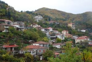 Moschato
SMOLL_LAKE
Latitude:
39° 19' 32"
Longitude:
21° 49' 14"
Description
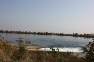 smoll_lake
Moschato-smoll lake Easy
Marking:red circle on a yellow square /code B11
Length:4 km.
Running time:1:10h return1:45h
Total elevation gain/elevation loss:+80m/-320m
Starting point: Moschato (altitude 425m) 39 19 10.13Ν 21 47 35.45Ε
Termination point:smoll lake (altitude 185m) 39 19 32.98Ν 21 49 14.80Ε


