


List
ANTHOCHORI
Description
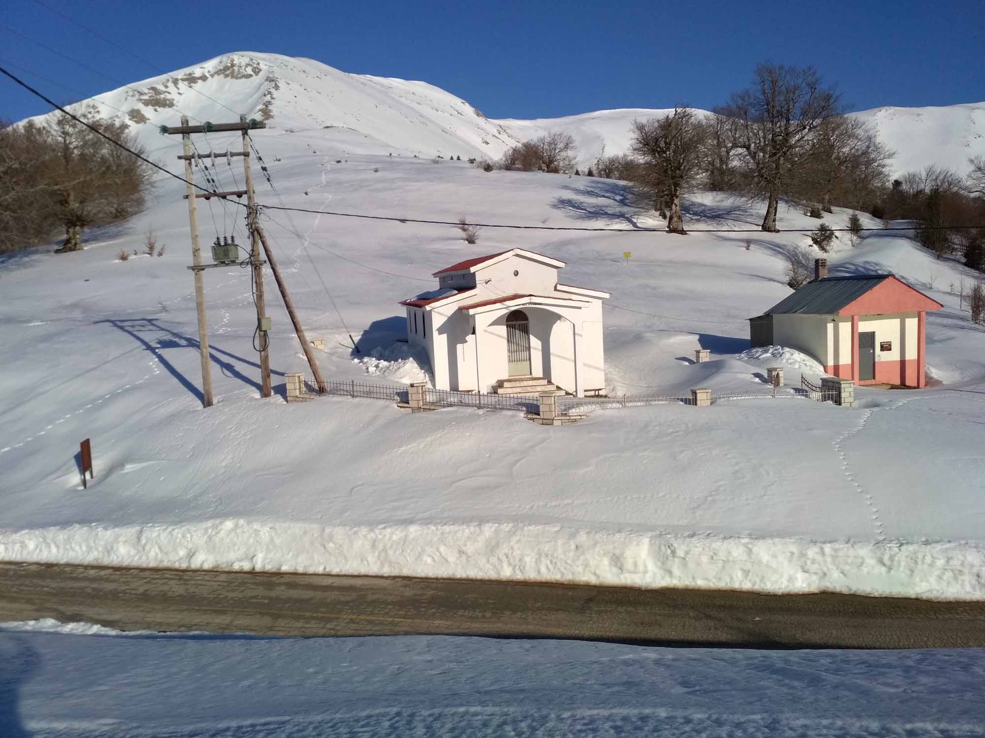
AG.NIKOLAOS
Description
DERMATAS_PEAK(1785m)
Description
MEADOW_STALOTSIAKOS/BIFURCATION_B20/B22
Description
BIFURCATION_B20/B20A
Description
KOUTSIKOURIS
Description
BIFURCATION_Β20/Β20Β
Description
KAMARA
Description
Koutsikouri
Profile
Dermata_peak
Profile
Anthochori-bridge_Kamara-meadow_Stalotsiakos-Ag.Nikolaos
Profile
Anthochori-Kamara bridge-Stalotsiakou meadow-Ag.Nikolaos (Vlasi)Easy
Marking:red circle on a yellow square /code B20
Length: km
Running time: h return h
Total elevation gain/elevation loss:+ m/- m
Starting point:Morfovouni(altitude m) 39 19 10.13Ν 21 47 35.45Ε
Termination:Gazi(altitude m) 39 18 39.32Ν 21 46 38.86Ε
Dermata peak 1785mEasy
Marking:red circle on a yellow square /code B20A
Length: km
Running time: h return h
Total elevation gain/elevation loss:+ m/- m
Starting point:Morfovouni(altitude m) 39 19 10.13Ν 21 47 35.45Ε
Termination:Gazi(altitude m) 39 18 39.32Ν 21 46 38.86Ε
KoutsikouriEasy
Marking:red circle on a yellow square /code B20B
Length: km
Running time: h return h
Total elevation gain/elevation loss:+ m/- m
Starting point:Morfovouni(altitude m) 39 19 10.13Ν 21 47 35.45Ε
Termination:Gazi(altitude m) 39 18 39.32Ν 21 46 38.86


